(UTV | TOKYO) – An extremely powerful typhoon continued on its path toward southeastern Japan on Sunday, with the weather agency still urging maximum caution despite saying the system has weakened slightly.
Typhoon Haishen is approaching Okinawa and Amami-Oshima Island in Kagoshima Prefecture and is expected to move north off the west coast of Kyushu’s main island from Sunday night through Monday morning, the Japan Meteorological Agency said, calling on the public to be vigilant for heavy rain, strong wind gusts, wild waves and tidal surges.
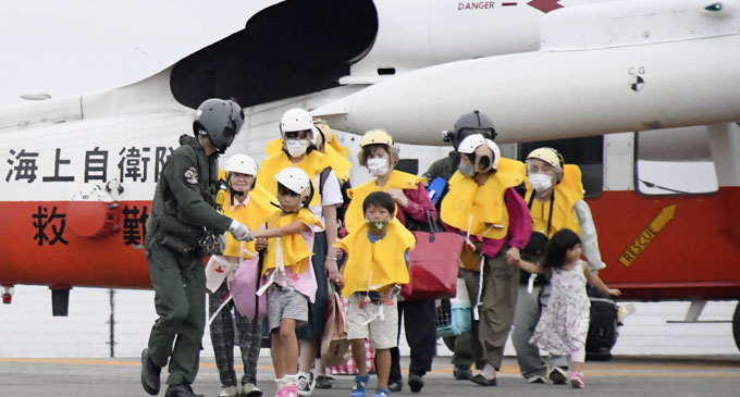
One person was injured in each of Okinawa and Kagoshima due to the typhoon, according to the Fire and Disaster Management Agency.
Evacuation orders and advisories have been issued for more than 200,000 people from about 104,000 households in Okinawa, Kagoshima, Kumamoto and Nagasaki prefectures, the agency said.
Kyushu Railway Co said its bullet and local train services will be suspended on Monday, while West Japan Railway Co has decided to cancel Sanyo Shinkansen bullet train services between Hiroshima and Hakata stations all day Monday.
Winds of up to 182.5 kilometers per hour were observed in the village of Minamidaito in Okinawa early Sunday morning, according to the meteorological agency.
Southern areas of Kyushu could see rainfall of up to 600 millimeters in the 24 hours to 6 a.m. Monday, the agency said. Amami, northern Kyushu and the Tokai central region on the Honshu main island could see up to 400 mm.
As of 10 a.m. Sunday, the typhoon was moving north at a speed of about 20 km per hour some 110 km off Amami-Oshima Island. It had an atmospheric pressure of 925 hectopascals at its center, packing winds of up to 252 km per hour.