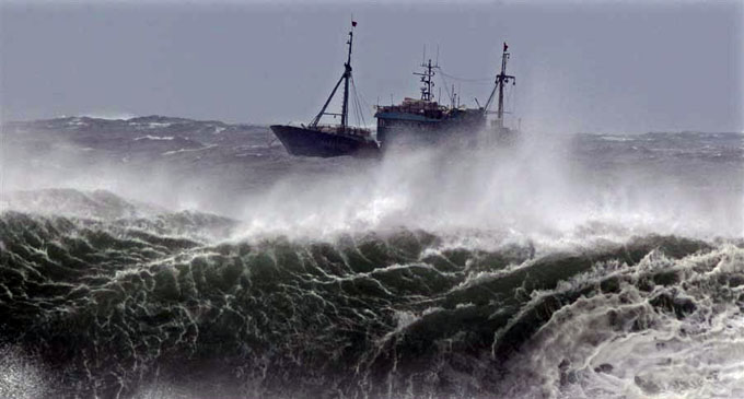
(UTV | COLOMBO) – Naval and fishing communities are advised not to venture into the East Central Bay of Bengal and adjoining sea area, until further notice from today, the Meteorology Department.
A low-pressure atmosphere is very likely to form over North Andaman sea and the sea area adjoining east-central Bay of Bengal around May 22 and likely to intensify into a depression around May 23.
The phenomenon could intensify into a cyclonic storm by May 24 and move northwestwards and reach near Odisha of the West Bengal coasts around May 26 morning.
Due to this cyclonic formation, thunderstorms or heavy rain could be experienced at several places in the sea areas extending from Mannar to Galle via Colombo.
Showers or thundershowers will occur at a few places in the other sea areas around the island in the evening or night.
The sea area extending from Kankesanthurai to Chilaw via Mannar and the sea area extending from Galle to Pottuvil via Hambantota could be rough at times. The other sea areas could also be fairly rough.
Sporadic gusty winds and very rough seas could also be expected during the deluge.


